Glenelg
Glenelg and Arnisdale
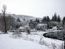
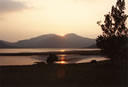
The village of Glenelg lies on a flat coastal plain surrounded by hills. Access to the village is either over the Mam Ratigan pass at over eleven hundred feet or from the Isle of Skye by crossing the Kylerhea straits on a small vehicle ferry.
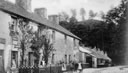
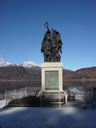
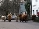
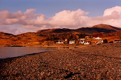
Glenelg village itself has a well-stocked shop (including post office), a small Inn with a pub and a modern medical centre as well as a recently extended primary school. The surrounding area is steeped in history, with the Bernera Barracks and Glen Beag (The small glen) Brochs being the most visible examples of historic buildings. It's hard to imagine that before the highland clearances, the Parish of Glenelg would have had a population of over three thousand. Today the population is around ten percent of that figure. Travelling through the village and round past the Parish Church and graveyard towards the old harbour area, the visitor will encounter "the monument"; an imposing war memorial by the sculptor Louis Reid Deuchars, erected to commemorate those from the Parish of Glenelg who lost their lives in two world wars. The village now extends past the newly refurbished pier and the road then leads either south towards Arnisdale or east up Glen Beag towards the Brochs.
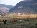
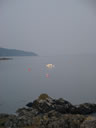
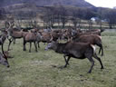
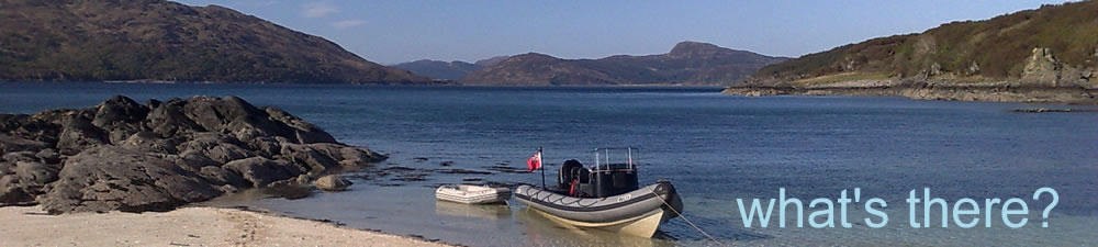
Arnisdale is situated some thirteen miles south of Glenelg and was once the site of a very prosperous herring fishery. However today Arnisdale is a collection of about a dozen properties, many of which are now used as self-catering holiday accommodation. Arnisdale is dominated by Beinn Sgritheall (974m), which rises almost vertically from the shores of Loch Hourn. Beyond, Arnisdale lies Corran, which is an even smaller community and which is the gateway (passed 'Sheena's Tea Hut') for those who wish to walk along the north side of Loch Hourn (The Loch of Hell) in the footsteps of the drovers.
Additional Information:
Glenelg: 57.2127; -5.6217
Arnisdale:57.1320; -5.5596